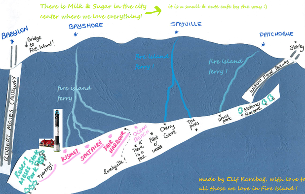
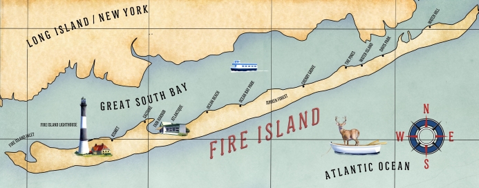
This is where I will upload a hand-made map when it is ready. (meaning: when I have time and don't feel lazy) - YAY ! I finally did it :)
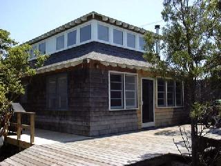
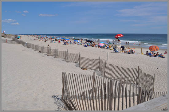
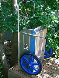
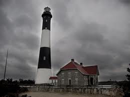
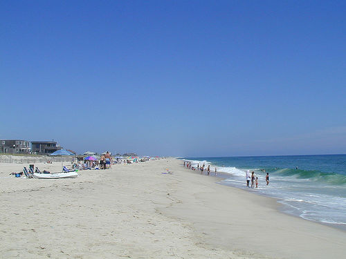
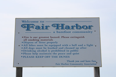
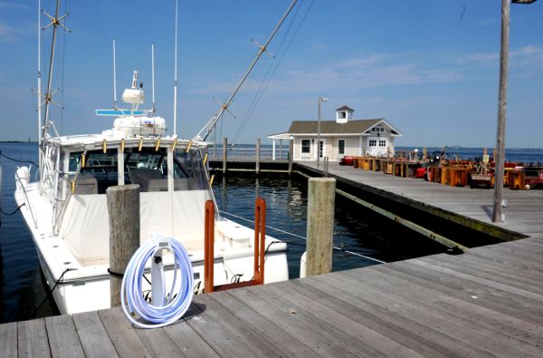
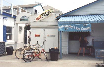
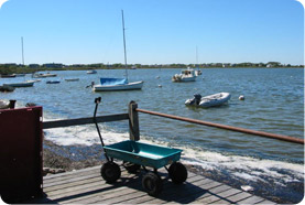
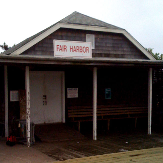
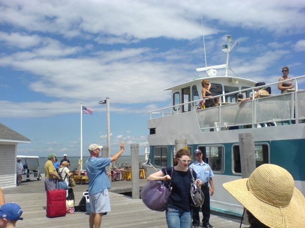 This is what the ferry looks like, and the people waiting for or waving at you ... 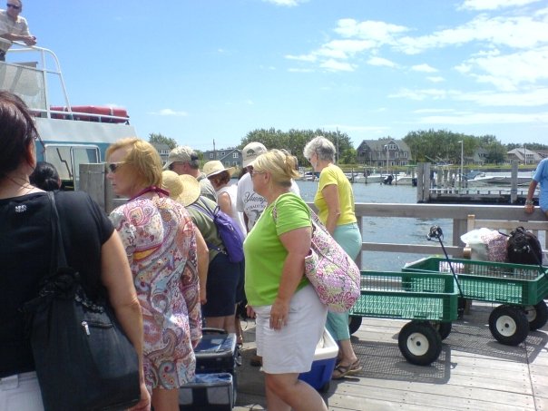 This is a scene from the chaos that occurs when the ferry arrives...  This is what the vagon-park looks like. 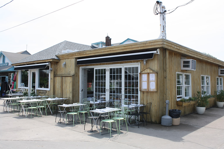 This is Le Dock, where you can eat delicious food, enjoy the fabulous sunset, grab a glass of wine or any cocktail you like, and say hi to the modest owner Patrick and have an enjoyable chat. 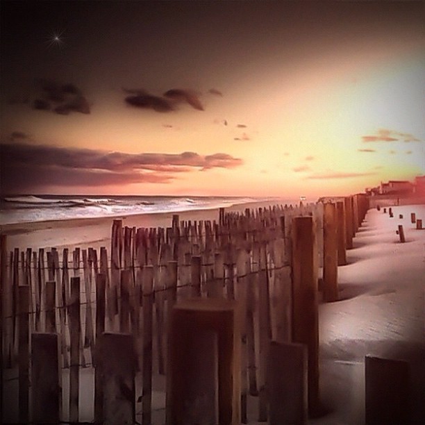 These are the sand dunes ...  This is the long ocean beach ..  This is where you can learn any thing you need to learn before you arrive.. This application provides updated ferry schedules, train schedules, and real-time travel alerts for all 15 Fire Island communities. Fire Island Ferry Destinations: Atlantique, Cherry Grove, Davis Park, Dunewood, Fair Harbor, Fire Island Pines, Kismet, Ocean Bay Park, Ocean Beach, Sailor’s Haven, Saltaire, Seaview, Sunken Forest, Watch Hill, and Water Island. | 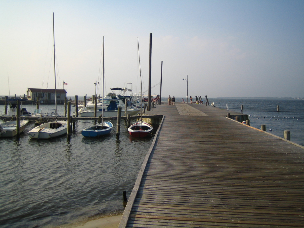 This is what the dock you arrive looks like, if you come to Saltaire ! 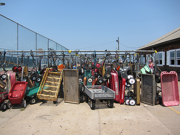 This is what everybody uses for anything they carry... (beach stuff, groceries, kids, pets, luggage..) 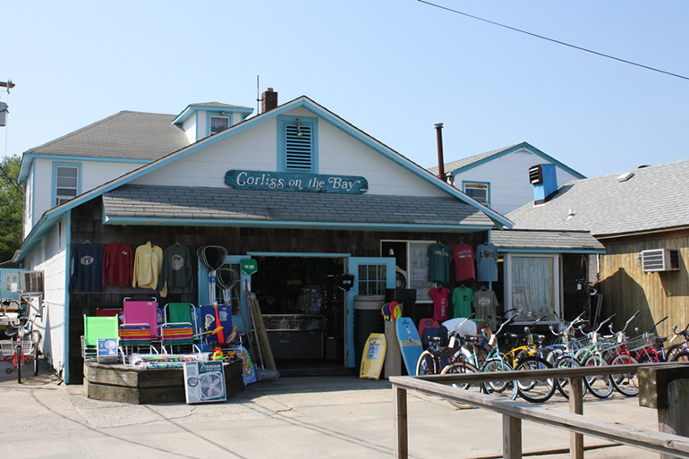 This is the shop at Fair Harbor, which is next to the liquor store and the famous restaurant Le Dock and where you can find all the necessary items to survive on Fire Island. 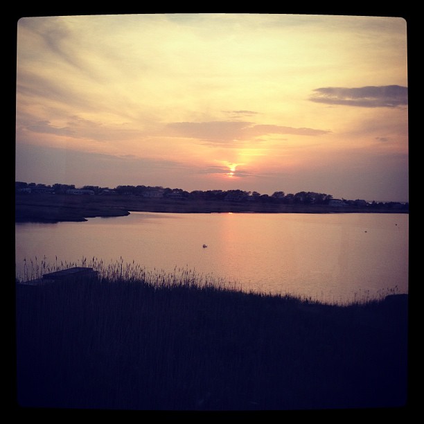 This is what the sunset looks like... 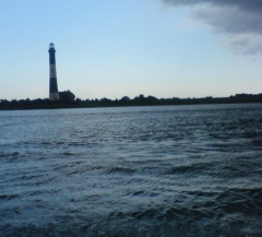 This is what the light house looks like.. 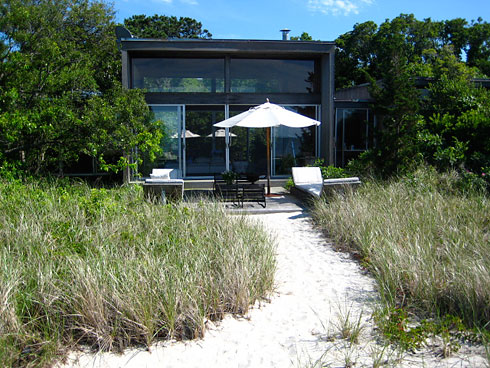 This is what the houses look like..  This is what you can see wandering around but must stay away from.. http://www.fireisland.com/ this is a nice web-site. http://www.littleviews.com/home/newyork/fireisland.cfm this is a nice blog. |


http://www.fireisland.com/visit/featured-photos/ this is where you can find more photos of Fire Island.

 RSS Feed